OnEO Geospatial Intelligence
The integration and exploitation of satellite data with multiple sources enables gaining a strategic advantage, providing an accurate, contextual, and real-time view of the planet.
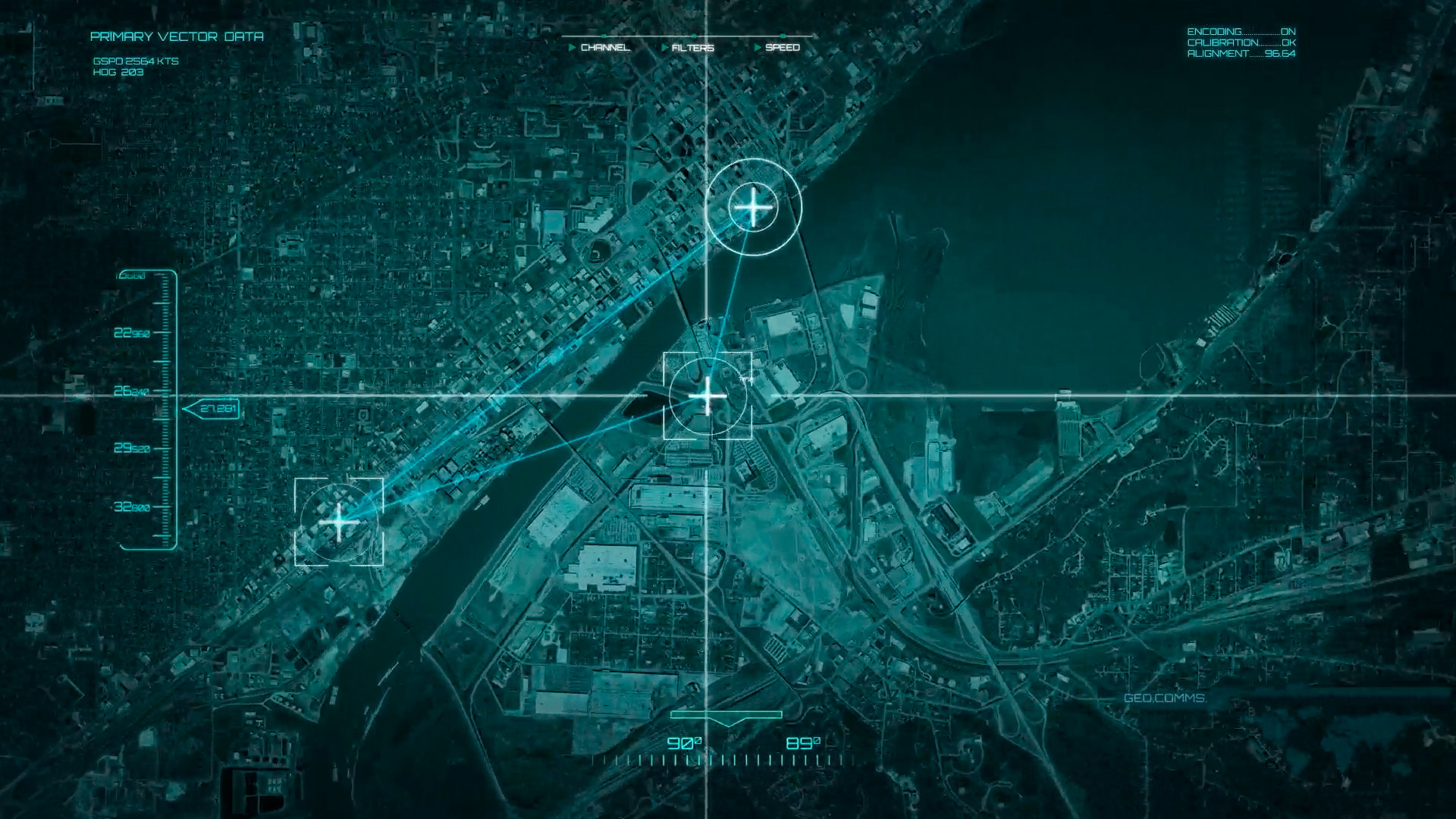
Our platform OnEO
OnEO is a next-generation Earth observation platform that transforms multi-source geospatial data into operational intelligence for both civil and defence users.
Through advanced analytics and artificial intelligence, it detects patterns, anticipates trends, and enhances situational awareness, generating real-time alerts and mission reports for faster, more effective decision-making.
It is a digital platform for the distribution and exploitation of services, offering a marketplace of processed products, ready-to-use satellite imagery, thematic maps, and analytical layers, along with on-demand services tailored to the needs of each sector.
- Precision agriculture
- Energy and environment
- Logistics and transport
- Insurance and risk management
- Emergency management
- Strategic intelligence and defence

Digital Twin of the Earth
At the heart of the system lies a Digital Twin of the Earth, enabling the simulation, prediction, and optimisation of real-world situations through dynamic models of the terrestrial environment.
This capability provides a deep understanding of changes across the territory, supporting decision-making with accurate and up-to-date information.

Dual approach: civil and defence
Interoperability and standards
Key advantages
- Modular, scalable, and interoperable platform, adaptable to any mission
- Seamless integration with existing systems and civil or defence architectures
- Advanced data processing for actionable, real-time information
- Reduction of operational costs through automation and artificial intelligence
- Full control over mission planning, execution, and analysis
Contact us